• There were many reasons for the change of the site software, the biggest was security. The age of the old software also meant no server updates for certain programs. There are many benefits to the new software, one of the biggest is the mobile functionality. Ill fix up some stuff in the coming days, we'll also try to get some of the old addons back or the data imported back into the site like the garage. To create a thread or to reply with a post is basically the same as it was in the prior software. The default style of the site is light colored, but i temporarily added a darker colored style, to change you can find a link at the bottom of the site.

MOAB, Colorado River and Arches NP

UtahPete

Well-known member
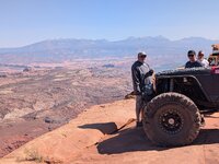
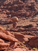
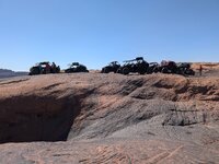
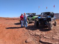
My wife and I are in Moab, Utah for a week. It's not a Spyder ride, but I thought some of you may be interested in this part of SE Utah as a possible destination. I'm limited to 6 pics per post, so I will have several posts in all.

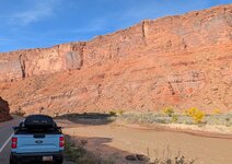
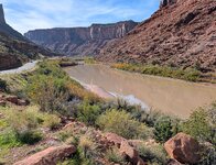
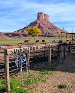
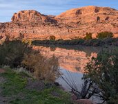
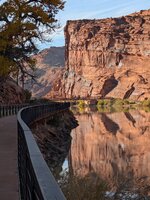
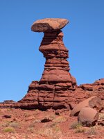
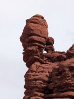
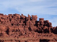
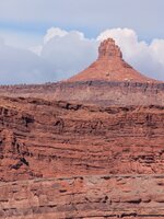
Moab is located on the Colorado River, just before it enters Canyonlands, a fantastic wilderness labyrinth of carved earth forms between Moab and Lake Powell (which was created by the building of Hoover Dam, near Las Vegas). Between Moab and Grand Junction, Colorado, is a fantastic stretch of river road that we never tire of driving. These are pictures taken along that road near Moab.
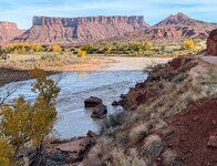
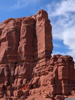
PXL_20261110_201108034.jpg - PXL_20261110_200916481.jpg - PXL_20261110_200112607~2.jpg - PXL_20261110_215305529.PORTRAIT~2.jpg - PXL_20261110_222551230.jpg - PXL_20261110_222701094.jpg

The last picture shows the lower mouth of the Canyon at the highway bridge in Moab.
 
Last edited:
Although I have traveled that area many times and that little side road in particular, I never tire of seeing pictures of it. Thanks Pete, enjoy your road trip. If you come up 89 to go home stop in and say hello.
 
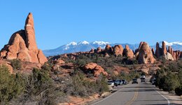
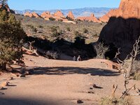
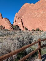
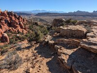
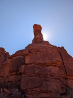
About 3 miles north of Moab is the entrance to Arches National Park, a must see for any visitor to the area. 6 pictures don't do it justice, but provide a taste to whet the appetite. By the way, the shoulder seasons are the best time to visit SE Utah, to beat the heat and the crowds.

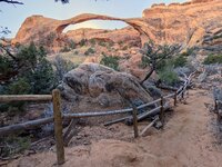
Having been here before, we went straight to the far end of the road, to Devil's Garden, because we wanted to take the hike to see Landscape Arch, which we had not seen on previous visits. The hike and the arch did not disappoint.

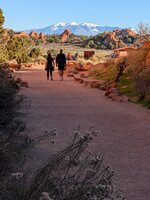
original_e9d1f357-897b-4dd2-9731-b94c34adc161_PXL_20261111_221727746.jpg - PXL_20261111_212835140~2.jpg - PXL_20261111_220523482.jpg - PXL_20261111_210541801.jpg - PXL_20261111_204714388.jpg - PXL_20261111_193716748.jpg -

Prominent in the background of some pictures are the white-capped mountains of Manti-La Sal, which we visited the next day for a fantastic view of Canyonlands, Arches NP, Dead Horse Point, the Henry Mountains and other prominent landforms. But there was a heavy haze over the valley, so I didn't get any good pictures. The La Sal Loop Road though, is a must do for motorcyclists, so plan on it.
 
Although I have traveled that area many times and that little side road in particular, I never tire of seeing pictures of it. Thanks Pete, enjoy your road trip. If you come up 89 to go home stop in and say hello.
Not this time, but since us-89 is one of our favorite n-s routes, we will one day.
 
Today, we're headed to Canyonlands NP Visitors center and the Dead Horse Point overlook of Horseshoe Bend, the White Rim trail and maybe Shafer Trail. Hopefully I'll get some good shots to post here.
 
Back
Top